Get Full Government Meeting Transcripts, Videos, & Alerts Forever!
Get email alerts on the Regional Trail Plan topic
No spam. Unsubscribe anytime.
Washington County planners outline 13-mile Battle Creek–St. Croix regional trail plan, request future Maplewood support
Summary
Washington County planners presented a long-range plan for a roughly 13-mile regional trail linking Battle Creek Regional Park through Maplewood to the St. Croix River, described the segment-evaluation method and outreach to partners, and asked the commission to consider a future letter or resolution of support once a recommended route is released.
Washington County planners described a long-range plan on Jan. 21 to create an approximately 13-mile Battle Creek–St. Croix River regional trail that would connect Battle Creek Regional Park through Maplewood to Woodbury and Afton.
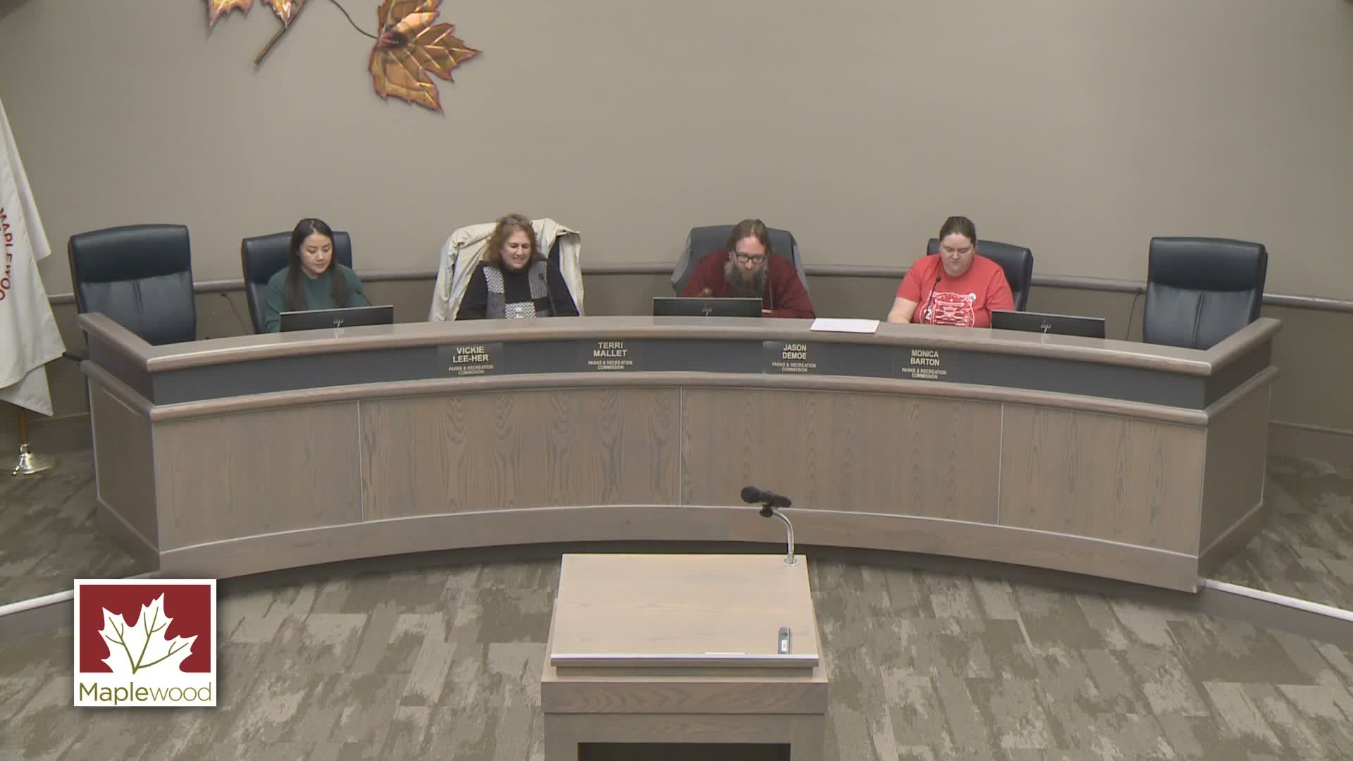
The presentation by Andrea Grama, planner at Washington County Public Works, and Connor Shafer, senior parks and trails planner for Washington County, outlined the plan’s purpose, a segment-evaluation method and a public-engagement schedule. Grama said a regional trail “acts like an arterial roadway where local routes will feed into this larger trail,” and that county design standards aim for “a 10-foot wide paved trail with a 10-foot buffer from vehicle traffic.”
The planners told the Maplewood Parks & Recreation Commission the long-range plan is intended as a high-level vision and a prerequisite for certain state and regional funding. Shafer said staff cut the corridor into four zones and 56 segments and scored each segment using six goals and roughly 53 performance measures to compare alternatives quantitatively and identify trade-offs.
Why it matters: having a long-range plan can make future construction projects eligible for state or Metropolitan Council funding and annual maintenance reimbursements, and it creates a formal process for local agencies and the public to shape alignment and amenities.
County staff described preferred segments in the Maplewood area. Shafer said the Lower Afton Road segment, which already meets regional-trail standards in places, scored highly; options leaving Maplewood include a Valley Creek Road alignment or a route that would connect south via Century/ Bailey roads. He also highlighted opportunities to use utility corridors and to work with Bellwin Conservancy in eastern Washington County.
Commissioners and attendees raised questions about property impacts and vegetation. A commissioner who lives near an existing state trail said residents had expected more tree plantings after trail construction; Grama replied that the county prefers to work with willing partners, aims to avoid property acquisition where possible, and that detailed vegetation impacts would be reviewed during preliminary design rather than at this long-range stage.
On funding and schedule, planners said preliminary design and construction are separate phases and that the preliminary design for this corridor is not currently in Washington County’s five-year capital improvement plan. Shafer said the county often advances segments in coordination with other road or development projects and that the plan is intended to be refined with technical and local-agency input.
Next steps: staff said they will refine recommended segments with partner agencies, host a public open house when a recommended route is ready, share the project web page and outreach materials with Maplewood staff, and request a letter or resolution of support from Maplewood as the plan advances through the county board and the Metropolitan Council review process.
The presentation closed with staff inviting further questions and promising to share the open-house date and the project webpage link with commission staff.