Lifetime Citizen Portal Access — AI Briefings, Alerts & Unlimited Follows
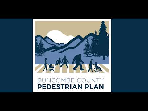
Buncombe County consultants present preliminary top 10 projects for countywide pedestrian plan; officials flag maintenance, jurisdiction questions
Loading...
Summary
Consultants for Buncombe County presented a draft network and preliminary top‑10 sidewalk projects drawn from nearly 1,500 survey visitors and thousands of community comments, while committee members pressed for clarity on DOT coordination, maintenance responsibility and targeted outreach before finalizing cut sheets.
Consultants leading Buncombe County’s pedestrian plan presented preliminary top‑10 projects and a proposed countywide network at the steering committee’s second meeting, saying the draft reflects thousands of community inputs and a round‑one survey with nearly 1,500 visitors.
Rachel, a McAdams project consultant, told the committee the county lacks a countywide pedestrian plan and the administrative mechanism to build and maintain sidewalks in unincorporated areas, so the new plan will act both as a guide for where to build sidewalks and a policy tool to create the capacity to do that work. "People wanna walk, but they feel like they can't do that safely," Rachel said, summarizing recurring public comments about missing sidewalks, uncomfortable crossings and safety fears.
Why it matters: Buncombe County’s growth pockets lie outside existing municipal plans, and committee members said a county plan could help make projects eligible for federal funding and attract partners. The consultants said they layered community‑drawn lines with existing municipal and MPO plans to produce GIS scoring (hexagon tiles) and identified nine priority areas where combined scores exceeded the round‑one threshold. From that work the team distilled core, supporting and additional projects, and highlighted a set of core spines the team intends to advance to cut sheets.
What the draft includes: The team described core corridors and sample projects that emerged from the analysis: Smoky Park Highway (Inca/Candler) extending sidewalk from city limits toward Old US 1923; Brevard Road extensions to connect commercial and high‑density housing; Long Shoals Road from Biltmore Park to Clayton Road; Hendersonville Road and Sweeten Creek Road (noting interactions with TIP projects); US 70 corridors and Old US 70 segments; New Leicester Highway up to Appalachian Mountain Health clinic; and Emma Road and Louisiana Avenue projects near the Emma area. The map legend presented cores (green), supporting projects (solid purple) and additional projects (dashed purple).
Committee questions and constraints: Committee members pressed on two recurring themes: jurisdictional coordination and long‑term maintenance. Liam, a committee participant, cautioned the plan should not be read as compelling municipalities to build sidewalks and reminded the group that "we don't even have a mechanism currently to build any of these" in the county, which the presenters said is one rationale for the plan. Another committee member noted that many priority corridors are state roads and suggested the DOT would be the likely builder for those segments, but maintenance responsibility after construction remains a question to resolve.
Coordination with other plans: Committee members and consultants said small area plans, notably work in Swannanoa, informed many of the community lines and that teams are coordinating to avoid duplication. The consultants and a county participant emphasized that if a project is adopted into a county plan it can be eligible for federal funding even if it also appears in a small area plan.
Next steps: The consultants said they will hold focus group meetings with the DOT and other stakeholders, produce project cut sheets in June (without early cost estimates), return to the steering committee with those cut sheets, then run a larger public engagement push in July and aim to finalize the plan in October. Rachel said participants can add comments to an interactive map and that the team will circulate slides and a QR code for continued input.
Community outreach and equity: Presenters reiterated a commitment to targeted outreach. Jenny, a committee member, asked whether the team could cross‑reference committee members’ locations and known gaps to ensure the July outreach reaches underrepresented neighborhoods; Rachel agreed to pursue intentional engagement.
What was not decided: The meeting was informational; there were no votes or formal commitments about which agency will build or maintain specific segments. The consultants emphasized that feasibility and final cost estimates will come later when projects advance to cut sheets and design.
Next meeting and follow‑up: The team will share slides and mapping links, collect comments over coming weeks, and expects to reconvene in May to review cut‑sheet drafts in June and broaden public engagement in July.