Get email alerts on the General Plan topic
No spam. Unsubscribe anytime.
Council reviews draft general plan and weighs three approaches for Fourth North corridor
Summary
City planners and council members reviewed a near‑final general plan after 18 months of outreach and debated three land‑use approaches for the Fourth North corridor — a high‑density corridor, node‑based mixed use, or an overlay/form‑based code to guide redevelopment and protect adjacent neighborhoods.
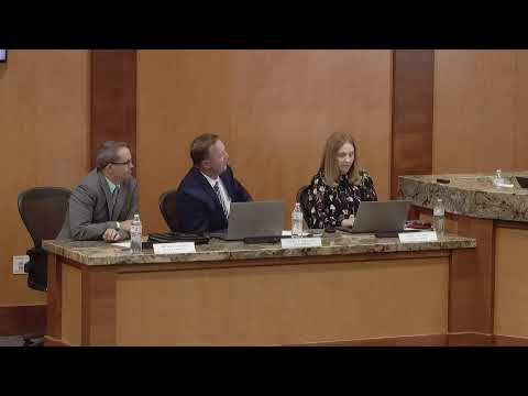
Council members spent the bulk of the April 7 meeting reviewing a third draft of Logan’s general plan, a strategic document intended to guide growth to 2045 and address housing affordability, transportation, water infrastructure and open‑space preservation.
Russ Holly, the staff lead on the plan, told the council the effort involved 15 workshops, roughly 390 in‑person participants and 300 online survey responses — about 830 engagement points in total — and that the plan includes required state elements such as moderate‑income housing, water use and transportation.
The plan’s proposed future land use map divides the city into 10 districts intended to offer flexible zoning choices as redevelopment occurs. Holly said the map does not automatically change property entitlements but is designed to show where increased density or mixed‑use development could help accommodate projected growth.
The most contested topic was the Fourth North corridor, a long, five‑lane arterial that Holly described as largely rental and “ripe for redevelopment.” The staff presented three alternatives: convert large stretches to higher‑density mixed use; concentrate commercial mixed‑use at two signalized nodes (at 600 East and 200 East) while transitioning density between them; or adopt an overlay or form‑based approach that prescribes building form, materials and transitions to better shape piecemeal redevelopment.
Council members expressed support for a more deliberate design approach. One council member argued the corridor should be treated as a gateway to Utah State University and the canyon and proposed an overlay that ensures cohesive, place‑making development rather than a hodgepodge of building types. Holly and other council members noted that ownership along the corridor is fragmented, so redevelopment will likely occur incrementally rather than as a single large project.
Planning Commission recommendations included technical edits (map color corrections and adding animal control to community services), a request to add senior center language in community services, and to retain some south‑end conservation areas as green until site‑specific proposals are brought forward because of Spring Creek constraints.
Council members asked staff to continue study and to collaborate with Utah State University students and faculty; Holly said some senior projects will present concepts on April 20 that could inform a form‑based approach. He also noted that adopting the general plan will be followed by a zoning/code update phase to implement the plan’s goals.
What happens next: staff will bring the plan back with suggested edits and clarifications (including the commission’s technical corrections and more detail on corridor alternatives) for further council review before any formal adoption vote.
AI generated
The text on this page is AI generated. Summaries, highlights, analysis, and video transcripts are all produced from the original source material.
AI can make mistakes, so if you spot one, and we will fix it for everyone.
Note: the source content is unaltered by us. Any content source we link to, be it a video, an audio recording, or a document, is presented exactly as its publisher released it. That publisher is usually a government body, sometimes an individual official or another organisation.