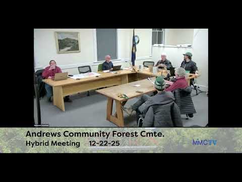
Andrews Community Forest committee forms mapping work group, debates buffer exceptions
Summary
The committee formed a three‑person working group to merge multiple shapefiles and refine a sensitive‑area map for Andrews Community Forest (ACF). Members clarified wetland/vernal‑pool buffers and asked for diagrams before deciding deviation allowances for trail encroachments.
The Andrews Community Forest (ACF) advisory committee on Monday agreed to form a three‑member working group to reconcile competing map layers and produce a revised sensitive‑area map for committee review.
Ian, who drafted the Richmondtown report and presented the initial buffer map, told members he can implement both the Arrowwood and Ethan Tapper shape files and asked for guidance on which features to include. "I've been able to work with Ethan Tapper's shape file," Ian said, offering to add Tapper's stand and reserve‑zone data to the draft map for committee review.
Committee members flagged a set of technical issues the map must reflect. Those included wetland and vernal‑pool buffers (class 3: 50 ft; class 2: 100 ft; vernal pools: 300 ft) and a seasonal restriction that would close trails within 300 ft of class‑2 wetlands from March 1 through May 31. "We did 100 [foot] for wetlands…vernal pools 300 foot and then any class 2 wetlands…we are going to close trails within 300 feet from March through May," a member summarized during the meeting.
Members discussed whether Tapper's forestry 'reserve' zones should appear on the public sensitive‑area map. Tapper's zones are intended for forestry management and flag areas of steep slope, sensitive soils and rare communities; several members said the data provide useful context but risk confusing the public if presented as a strict no‑go layer. "It is helpful to see...there is a little bit more than what exists in the sensitive area map," one member said, recommending reserve zones be preserved as context rather than absolute trail restrictions.
The committee also debated numeric tolerances for deviations from buffer lines when a proposed trail must enter a buffer zone. The draft management language included a 5% fragmentation tolerance; some members argued that is too strict in the field and proposed higher allowances, and one offered 20% encroachment distance paired with 10% fragmentation area as a possible compromise. Members agreed they could not resolve percentages without diagrams and asked a volunteer to produce visual examples showing what 5%, 10% and 20% incursions look like in practice.
The working group — Ian, Dan and Brad — was given the task of comparing the Arrowwood and Tapper data, producing a revised draft that preserves essential sensitive areas and avoids creating an unreadable map, and returning a map for committee review by the next scheduled meeting on Jan. 12. The committee also asked designer John Haden to convert the agreed feature set into a styled public map once the working group set the content.
Next steps: the working group will prepare a draft map and the volunteer will provide encroachment diagrams for the committee's next meeting; the committee will not publish changes to Trail Forks/Trailfinder until the draft has been reviewed.
AI generated
The text on this page is AI generated. Summaries, highlights, analysis, and video transcripts are all produced from the original source material.
AI can make mistakes, so if you spot one, and we will fix it for everyone.
Note: the source content is unaltered by us. Any content source we link to, be it a video, an audio recording, or a document, is presented exactly as its publisher released it. That publisher is usually a government body, sometimes an individual official or another organisation.