Get email alerts on the Subdivision topic
No spam. Unsubscribe anytime.
Planning commission backs corrected ZIP‑code subdivision to fix courthouse parcel error
Summary
The planning commission recommended approval of a corrected subdivision map after staff and the surveyor identified a decades‑old parcel mapping error at the Washington County Courthouse that mischaracterized a 50‑foot access as a separate lot; commissioners approved the replat to restore correct lot areas for taxing and title purposes.
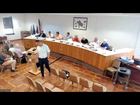
The South Strabane Township Planning Commission voted to recommend approval of a revision to a previously approved subdivision to correct a parcel mapping error that surfaced when the owner attempted to clear title at the county courthouse.
Township reviewer TJ (S3) explained that the courthouse record showed a 50‑foot access as its own lot rather than part of the remnant parcel; that historic error changed the lot area calculations and prompted the owner and surveyor to seek a corrected subdivision. TJ said the surveyor adjusted the plan and the corrected drawing was provided to the township so the lots will be shown correctly.
Commission members asked whether the revision affected existing houses and learned the properties involved are preexisting nonconforming lots that remain unchanged. Planning Commission member (S2) moved the recommendation, which received a second; the commission voted to carry the motion.
The recommendation will be forwarded to the supervisors, and the corrected subdivision record will be submitted to the county to rectify the earlier mapping error. The surveyor named in discussion was Marshall (first reference in the transcript).
AI generated
The text on this page is AI generated. Summaries, highlights, analysis, and video transcripts are all produced from the original source material.
AI can make mistakes, so if you spot one, and we will fix it for everyone.
Note: the source content is unaltered by us. Any content source we link to, be it a video, an audio recording, or a document, is presented exactly as its publisher released it. That publisher is usually a government body, sometimes an individual official or another organisation.