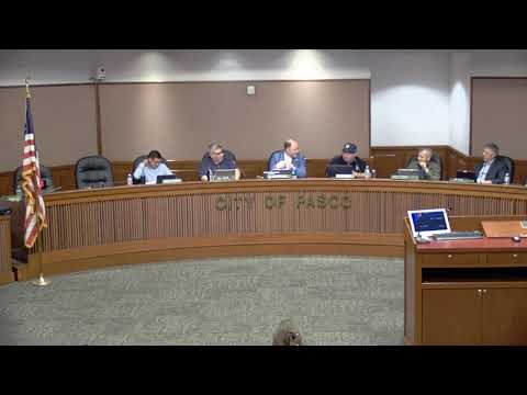
Pasco hearing previews Shoreline Master Program user guide and new tracking tool
Summary
City staff presented a 40‑page user guide and a permit tracking system funded by a Washington State Department of Ecology grant to help enforce the Shoreline Master Program’s no‑net‑loss ecological standard along Pasco’s Columbia and Snake river shorelines.
A city consultant presented the Shoreline Master Program (SMP) user guide and a new permit‑tracking system intended to help Pasco implement its shoreline rules, protect ecological functions and improve accountability.
The presenter said shoreline jurisdiction in Pasco covers a roughly 200‑foot band along the Columbia and Snake rivers, expands where associated wetlands occur and includes floodways and associated wetlands. Environment designations applied to shoreline reaches range from aquatic and natural to recreation, high‑intensity mixed use and high‑intensity industrial; each designation carries different buffer widths and use rules.
Staff highlighted the program’s central requirement: no net loss of ecological function. Under that standard, new development that affects habitat or buffer functions must offset impacts, preferably on the same property or, where infeasible, through city‑approved off‑site mitigation. The presentation cited buffer distances that vary by environment designation (about 5 to 75 feet) and an 8‑foot minimum structure setback from the buffer edge.
The grant‑funded work includes a 40‑page illustrated user guide and an eTracker permit module that will automatically flag mitigation reporting deadlines and produce implementation reports for planning staff. The tracking tool is intended to generate routine status reports so staff can follow up on conditions such as required plantings, one‑, two‑ and three‑year performance checks and other permit conditions.
Staff said they have characterized ecological functions across shoreline reaches and will pilot a landscape‑scale ecological‑functions evaluation for select reaches to compare current conditions (2022–2024 imagery and site verification) with earlier characterizations. The project team plans to complete technical work by the end of June and publish reports to the city website in July.
The presenter emphasized the user guide and tracking tool are intended to clarify how the SMP is implemented, not to change the SMP itself. The project is funded through a grant from the Washington State Department of Ecology.
The listening session concluded with an invitation for public questions and follow‑up as staff finalizes the user guide and tracking recommendations.
AI generated
The text on this page is AI generated. Summaries, highlights, analysis, and video transcripts are all produced from the original source material.
AI can make mistakes, so if you spot one, and we will fix it for everyone.
Note: the source content is unaltered by us. Any content source we link to, be it a video, an audio recording, or a document, is presented exactly as its publisher released it. That publisher is usually a government body, sometimes an individual official or another organisation.