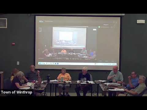
Board tables redefinition of resource-protection map, asks for better mapping data
Summary
After a long discussion about correcting shoreland/resource-protection mapping, the board voted to table parcel-level changes until new lidar/topographic data and a watershed-district review are available; the motion passed unanimously.
Board members debated whether to redraw the resource-protection line on a parcel-by-parcel basis or wait for improved mapping and watershed input. Staff and members noted inconsistencies between older contour-based maps and a newer slope tool and emphasized that the paper map overlay, DEP guidance and local ordinance must be reconciled before adopting changes.
One committee member proposed tabling further action until the town receives more accurate slope/lidar data and a technical review from the Kawasaki Watershed District. The motion to table was seconded and approved unanimously. Members said they will notify the watershed district, gather more data and present a town- or water-body–level proposal rather than continuing with ad hoc parcel-by-parcel exceptions.
AI generated
The text on this page is AI generated. Summaries, highlights, analysis, and video transcripts are all produced from the original source material.
AI can make mistakes, so if you spot one, and we will fix it for everyone.
Note: the source content is unaltered by us. Any content source we link to, be it a video, an audio recording, or a document, is presented exactly as its publisher released it. That publisher is usually a government body, sometimes an individual official or another organisation.