County staff outlines plan to digitize zoning maps, parcel data
Summary
Planning staff said the county has contracted a consultant to digitize zoning maps and integrate parcel data from the tax assessor and QPublic to support online, searchable zoning layers; staff hopes to complete the work by year-end after a consultant cost estimate.
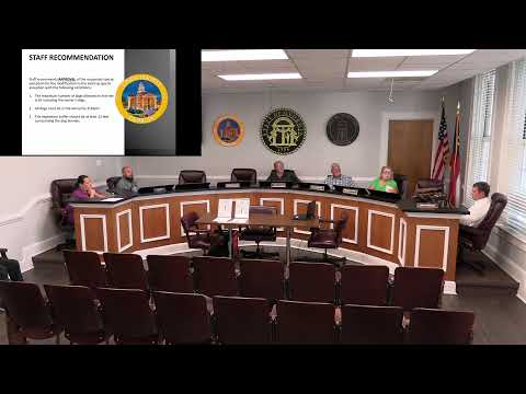
On Aug. 10 Upson County planning staff described an effort to digitize the county’s zoning maps and publish interactive parcel and zoning layers online.
Jeremy told commissioners the county has scanned existing maps and sent data to a consultant to obtain a price estimate. "We're moving forward with getting all of our zoning map and everything digitized," he said, adding that the county will obtain parcel data from the tax assessor and QPublic and that the consultant will produce a template map and database for public use. Staff said the goal is to complete the work before year-end and to enable online searches and map layers showing zoning districts (for example, R-2 areas) to reduce confusion about where specific zoning categories apply.
Staff described next steps: obtain consultant pricing, decide whether to host an Arc-based service with the assessor updating monthly, and publish a searchable database for public access. Commissioners welcomed the plan and thanked staff for progress on the mapping project.
AI generated
The text on this page is AI generated. Summaries, highlights, analysis, and video transcripts are all produced from the original source material.
AI can make mistakes, so if you spot one, and we will fix it for everyone.
Note: the source content is unaltered by us. Any content source we link to, be it a video, an audio recording, or a document, is presented exactly as its publisher released it. That publisher is usually a government body, sometimes an individual official or another organisation.