Get email alerts on the Gis Mapping topic
No spam. Unsubscribe anytime.
County staff to deploy interactive GIS zoning map and update zoning resolution
Summary
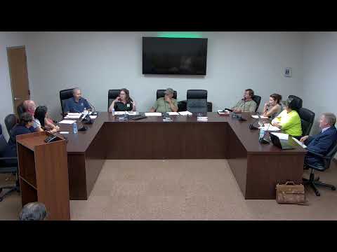
The commission heard a presentation on a proposed interactive zoning map and online portal by Amanda in partnership with OHM Advisors and Esri; the GIS map can be completed in about four weeks and the zoning‑resolution update would take roughly six to eight months.
Amanda, the county’s professional planner, presented a proposal from OHM Advisors to create an interactive, web‑based zoning map using Esri tools. The portal would allow users to enter an address to view parcel zoning, zoning history, urban growth boundaries and FEMA floodplain information; Amanda said updates could be near‑real time after legislative sign‑off on rezonings.
Amanda estimated the GIS map could be completed in about four weeks, while a full modernization of the zoning resolution would take roughly six to eight months. She said the tool could link to the zoning resolution text and help identify contradictions in the code that commissioners had discussed earlier.
AI generated
The text on this page is AI generated. Summaries, highlights, analysis, and video transcripts are all produced from the original source material.
AI can make mistakes, so if you spot one, and we will fix it for everyone.
Note: the source content is unaltered by us. Any content source we link to, be it a video, an audio recording, or a document, is presented exactly as its publisher released it. That publisher is usually a government body, sometimes an individual official or another organisation.