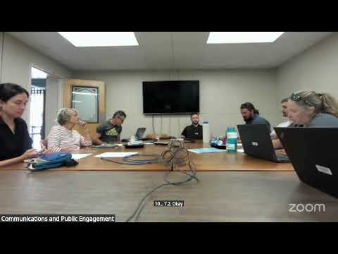
Advisory board presses staff to simplify master plans; members ask for interactive maps and clearer data
Summary
Advisory members urged staff to make master-plan documents more accessible to commissioners and the public, suggested an interactive GIS map to layer open-space and greenway data, and offered to support staff at county commission presentations.
Staff asked the advisory board to review three heavy master-plan documents—the recreation master plan, open-space master plan and Greenway and Trails master plan—and to provide actionable feedback on clarity and presentation ahead of county commission review. Board members said the documents are data-rich but difficult for a lay audience to scan and recommended clearer visual presentation and footnotes for key charts.
"When we read the parks and rec master plan, I think kind of 1 of my biggest takeaway is just, like, thinking about how broad the audience is for this plan," a board member said, urging clearer callouts and better visual summaries. Several members suggested an interactive map that lets users layer open spaces, greenways and future plans across municipalities; staff said they hope to produce a systemwide summary document and acknowledged the value of an updated GIS layer and potential partnerships (AllTrails expressed interest) to show heat maps and usage data. Staff asked for prioritized comments by the end of the month to compile into consultant-ready edits.
AI generated
The text on this page is AI generated. Summaries, highlights, analysis, and video transcripts are all produced from the original source material.
AI can make mistakes, so if you spot one, and we will fix it for everyone.
Note: the source content is unaltered by us. Any content source we link to, be it a video, an audio recording, or a document, is presented exactly as its publisher released it. That publisher is usually a government body, sometimes an individual official or another organisation.